Day 41 – Driving second part on the Friendship Highway
By bogaert|
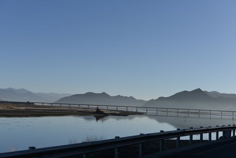
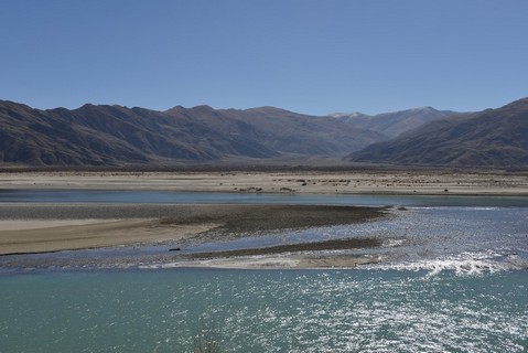
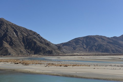
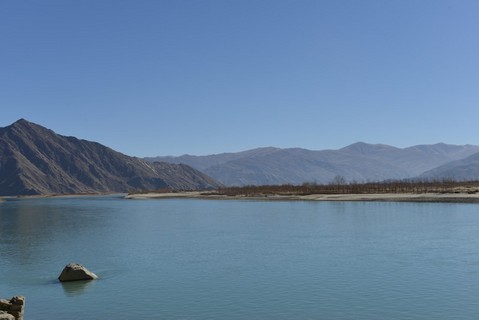
Again a long ride, 7 hours driving for 400 km, until we reached Lhasa. The road follows the wide east-west oriented valley. We drove along the Yarlung Tsangpo River. The river originates at the Tamlung Tso Lake and goes all the way to India, where it becomes a holy river. The road is in very good condition, but the speed limit keeps the travel speed low. At every checkpoint the driver receives a note with the departure time at the checkpoint. He must adjust his speed to avoid being too early at the next checkpoint. From time to time he stops a few curves before the checkpoint to gain some time. Back in Lhasa I went to the small Palubuk nunnery near the Potala Palace, my last visit in Tibet. Totally exhausted I arrived at the hotel. Having time to catch-up my blog, although not much happened today. Tomorrow I leave Tibet going back to Beijing. Two checkpoints to go and I will be free! Enjoy the photos! |
Yarlung Tsangpo River |
|
Yarlung Tsangpo River |
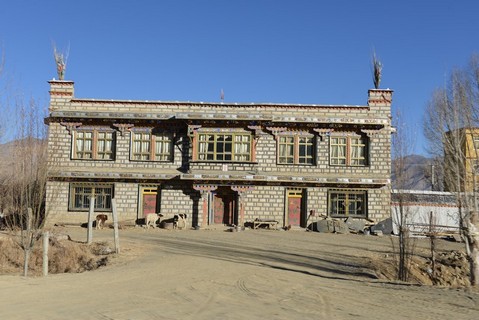
Typical houses along the street |
|
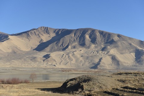
Driving through the landscape |
Chinese drivers, line up and ... |
|
Driving through the landscape |
Driving through the landscape |
|
Landscape |
Palubuk nunnery |
|
Prayer stones at the Palubuk nunnery |
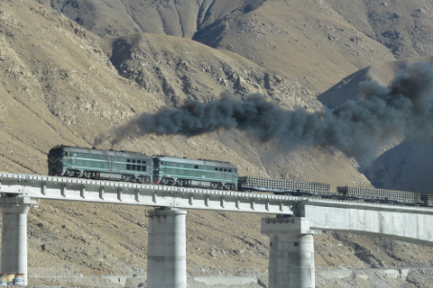
A 'green' train, carrying tracks to extend the line from Lhasa to the west |
- bogaert's blog
- Log in to post comments


